Cyclone Alfred shifts course and begins to unleash
Thousands of homes are without power as the impacts of Cyclone Alfred are felt either side of the Queensland-New South Wales border.
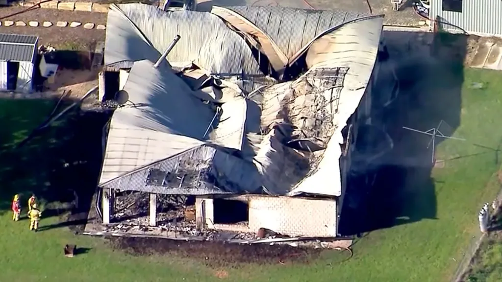
Cyclone Alfred’s wrath is already hitting both sides of the Queensland-New South Wales border, with 30,000 properties losing power amid heavy rain and wild gales.
The category two storm shifted course again overnight Thursday on its extremely slow march towards millions of people in south-east Queensland.
BOM’s tracking map on Friday morning showed Alfred making landfall “most likely near Moreton Bay”, slightly further north of previous predictions, on Friday night or early Saturday as a category two storm.
That would potentially put Brisbane’s northern suburbs, the Redcliffe region and the southern Sunshine Coast in the firing line.
⚠️Issued 7:52am AEST
— Bureau of Meteorology, Queensland (@BOM_Qld) March 6, 2025
🌀Tropical #CycloneAlfred (Cat 2) is 165km east of #Brisbane.
Alfred is a category 2 cyclone, and is forecast to maintain this intensity as it approaches the coast today. Impacts expected to increase this evening. https://t.co/abjo0qiR5X pic.twitter.com/SCbtXRdz0m
The cyclone was 205 kilometres east of Brisbane and moving very slowly towards the coast on Friday morning.
Its delayed arrival has heightened fears of more days of heavy rain on Alfred’s southern flank, prompting last-minute evacuations in flood-prone northern NSW.
You might like

Thousands of residents in Lismore and nearby towns were told to leave later on Thursday as the threat of sustained rain increased from two days to five.
The emergency orders affected Lismore, which was catastrophically flooded in 2022, and parts of Port Macquarie, Kyogle, Tumbelgum, Coraki and other towns.
The Lismore evacuations encompassed the Lismore CBD, Lismore East, Lismore North and Lismore South.
The regional NSW town is still recovering from devastating flooding in 2022 – also one of the Australia’s worst flood disasters.
NSW Premier Chris Minns, who is in the state’s north ahead of the cyclone’s expected landfall, warned that flooding could cut off escape routes.
“We cannot guarantee a boat for every house in the flood evacuation zone … in the event of a major overflow of these rivers, particularly overnight,” Minns said.
“The way to keep yourself and your family safe, particularly in the next few hours, is to evacuate before 9pm,” he said.
Stay informed, daily
The cyclone was initially forecast to dump rain for about two days, but its stalled progress meant heavy falls could continue for longer.
“The window is now five days, which means there’s major pressure on these communities,” Minns said.
Up to 700 millimetres of rain could fall on the region.
In communities in the Gold Coast, Tweed and Byron council areas, 30,000 customers were without power early on Friday.
Energex said 20,000 properties were in the dark in Queensland.
In NSW, Essential Energy said power had been lost to 10,000 homes and businesses due to heavy winds. The disconnections could last a long time.
Major airports in Brisbane and the Gold Coast were shut, with flights cancelled across several regional airfields.
BOM’s Friday morning bulletin said heavy rainfall would develop in south-east Queensland and north-eastern NSW.
“Due to the very slow moving nature of the cyclone, there is a very high risk of significant impacts due to widespread heavy rainfall over the coming days,” the weather bureau said.
Gales with damaging winds gusts to 120km/h were developing near the coast between Cape Moreton and Cape Byron.
Destructive wind gusts of up to 155km/h may develop about coastal and island locations near, and to the south of, the cyclone centre, as Alfred’s destructive core approaches the coast.